
















🚶♀️ Senior-Friendly Walking Trails Around Collingwood and the Blue Mountains | GEORGIANBAYNEWS.COM

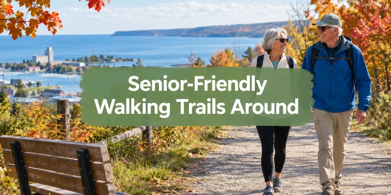
Eighty-five kilometres of maintained path connect Collingwood’s waterfront to the escarpment edges of The Blue Mountains, yet fewer than half of those kilometres are genuinely easy for an older walker with a cane, a scooter, or a cautious hip replacement. Knowing exactly which stretch is flat, which has a bench every ten minutes, and which one demands a steep climb makes the difference between an enjoyable outing and a frustrating one. This guide breaks down the senior-friendly walking trails around Collingwood and the Blue Mountains by distance, surface, and rest stop, so readers can match a route to their own pace and ability before they ever lace up their shoes.

Key Takeaways
- The Georgian Trail offers 34 km of flat, crushed-stone path that can be split into short, manageable segments with multiple entry points.
- The Collingwood Trails Network spans 15.5 km with asphalt, gravel, and grass surfaces, plus free parking, washrooms, and picnic areas.
- The Blue Mountains region contains roughly 285 km of public trails, but only a handful are truly low-elevation and obstacle-free.
- Blue Mountain Resort’s Explore Park includes short routes like Sunny Side Up (0.6 km, flat) and Lower Green (1.0 km, gentle slope) ideal for seniors.
- Rugged escarpment sections of the Bruce Trail are better suited to fit hikers, not seniors seeking even ground and frequent rest stops.
The Georgian Trail: A Flagship Route Among Senior-Friendly Walking Trails Around Collingwood and the Blue Mountains
The Georgian Trail runs 34 km along a former railway bed from Collingwood’s Harbourview Park through Craigleith and Thornbury to Meaford. Its crushed-stone surface stays mostly flat, and recent visitor reviews from October 2026 describe it as “very well maintained” and manageable even for mobility-scooter users.

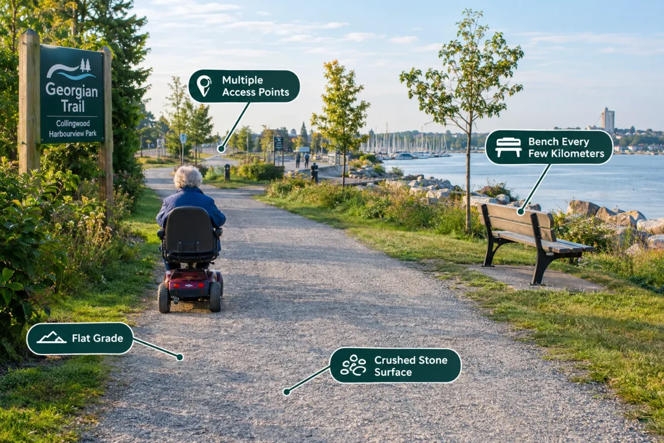
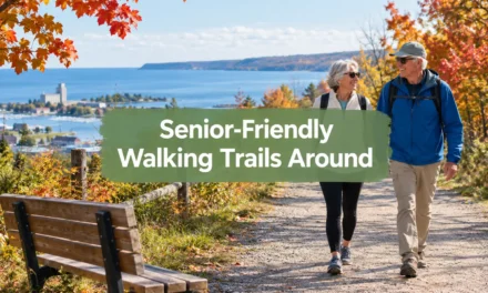
Image is for illustrative purposes, don’t panic 😉
Because the trail has multiple access points, it does not need to be walked in one piece. A senior could park near Craigleith, walk 2 km toward Thornbury, rest on a bench, and turn back, avoiding any single long push. Compared with the escarpment terrain found along the Beaver Valley section of the Bruce Trail, which includes roughly 113 km of rugged main trail and 50 km of side trails [10], the Georgian Trail’s gentle railway grade is far more forgiving for knees and balance.
Collingwood Trails Network and Waterfront Walks for Easy Access
The Collingwood Trails Network covers 15.5 km with a mix of asphalt, gravel, and natural grass surfaces. It is officially classified as “family friendly,” “scenic,” and “urban,” with free parking, washrooms, and picnic or rest areas built into the system [9].
Within this network, shorter waterfront segments make ideal starting points: the Train Trail (0.7 km), Sunset Point Trail (2.2 km), and connecting paths through wetlands and an arboretum. ATVs are banned from the network, and only one snowmobile route crosses into town, which keeps these paths quieter and safer for older walkers [9]. Collingwood maintains over 60 km of recreational paths in total, with new segments added yearly, so this is a growing resource for low-impact daily walks.
Blue Mountain’s Explore Park: Short, Low-Elevation Routes for Older Walkers
The Town of The Blue Mountains reports approximately 285 km of public trails, along with 17 acres of neighbourhood parks and 48 acres of waterfront [7]. Most of this mileage sits on the escarpment and is better suited to experienced hikers. However, Blue Mountain Resort’s Explore Park contains over 20 trails totaling about 30 km, with clear signage that helps seniors choose appropriately [2][3].
Several short routes stand out:
| Trail | Distance | Elevation Gain | Estimated Time | Notes |
|---|---|---|---|---|
| Sunny Side Up | 0.6 km | 0 m | 15 min | Flat, multi-use, near village [6] |
| Lower Green | 1.0 km | 24 m | 10 min | Gentle slope, village access [5] |
| Route 66 | 1.6 km | 41 m | 20 min | Mountaintop loop, modest hills [1] |
| Timeline History Trail | Short loop | Minimal | Varies | Obstacle-free, interpretive signage [3] |
The Timeline History Trail is specifically designed as an accessible path with interpretive signage and mountaintop views for guests with limited mobility [3]. Resort accessibility information notes that hiking is self-guided and that only limited options exist for those with significant mobility restrictions, and gondola rides down the mountain carry a fee [2][8]. Pairing a short walk with a gondola ride can reduce the climbing required.
Choosing the Right Trail: Surfaces, Benches, and Turnaround Points
Picking among senior-friendly walking trails around Collingwood and the Blue Mountains comes down to three practical questions: What is the surface? Where are the rest stops? And where can I turn around early if needed?
- Surface matters most. Crushed stone and asphalt (Georgian Trail, Collingwood network) are easier on joints than natural grass or escarpment rock.
- Rest stops should be frequent. The Green World trails near Blue Mountain’s Explore Park include picnic areas and tree islands that function as natural stopping points [2].
- Turnaround points reduce risk. Out-and-back walks on short trails like Lower Green or Sunny Side Up let a walker stop at any point without committing to a loop.
- Themed routes add motivation. Regional coverage highlights village-to-trail connections such as the Apple Pie Trail, which link walking with cafes and rest stops along the way.
“The best trail for an older walker isn’t the longest one, it’s the one with a bench in sight at all times.”
Conclusion
Collingwood and The Blue Mountains offer a genuine range of options for older walkers, but not every kilometre is created equal. The Georgian Trail and Collingwood Trails Network deliver flat, well-serviced paths close to town, while Blue Mountain’s Explore Park offers short, signed routes for those wanting mountain views without steep climbs. Before heading out, confirm the surface type, locate the nearest washroom or bench, and pick a realistic turnaround point. Starting with a short segment, even just 1 km, and building up gradually is the safest way to enjoy these senior-friendly walking trails around Collingwood and the Blue Mountains all season long.
References
[1] Route 66 – https://www.bluemountain.ca/things-to-do/explore/route-66
[2] Explore More – https://www.bluemountain.ca/archived-pages/discover-summer/explore-more
[3] Explore – https://www.bluemountain.ca/things-to-do/explore
[5] Lower Green – https://www.bluemountain.ca/things-to-do/explore/lower-green
[6] Sunny Side Up – https://www.bluemountain.ca/things-to-do/explore/sunny-side-up
[7] Trails Hiking – https://www.thebluemountains.ca/recreation-culture/beaches-parks-trails/trails-hiking
[8] Accessibility – https://www.bluemountain.ca/about-us/accessibility
[9] Collingwood Trails Network – https://www.ontariotrails.on.ca/trail/collingwood-trails-network
[10] The Blue Mountains – https://www.aermap.co/explorers/field-guides/the-blue-mountains
Content, illustrations, and third-party video appearing on GEORGIANBAYNEWS.COM may be generated or curated with AI assistance or reproduced pursuant to the fair dealing provisions of the Copyright Act, R.S.C. 1985, c. C-42. Attribution and hyperlinks to original sources are provided in acknowledgment of applicable intellectual property rights. Such referencing is intended to direct traffic to and support the original rights holders’ platforms.
Much Appreciate You Sharing This Post - It Helps MUCH!!!